BART
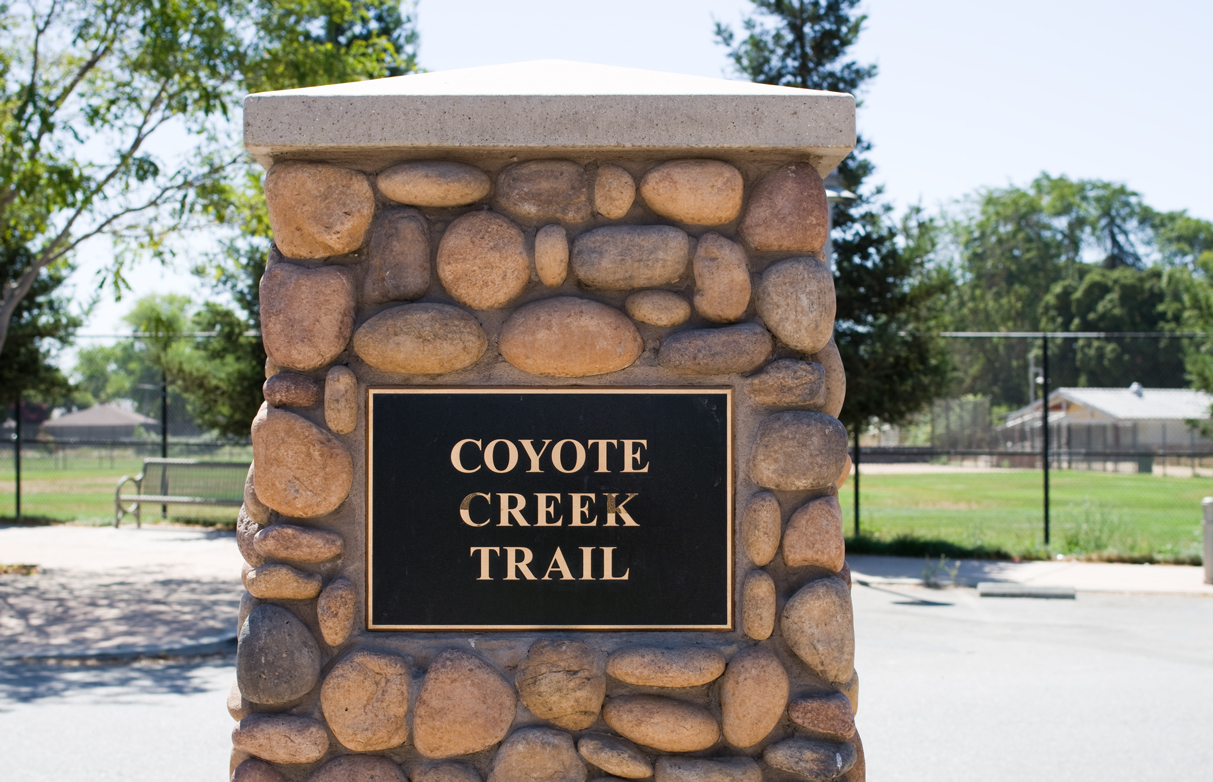
Coyote Creek (North)
September 3, 2013 09:23
The trail begins at the signal light near the entrance to the Tully Branch Library. After a short walk past a parking lot the creekside trail begins. Here, as at many sections of the trail, access to the creek itself is prohibited by signs periodically posted on the paved trail.
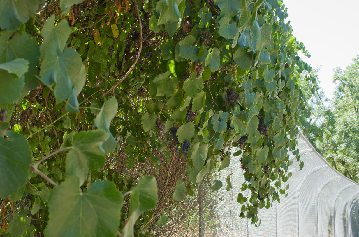
After a short run past the San Jose Police horse stables, you go right by a nice-looking skate park at the back of Stonegate Elementary School. The bowl looks about 5 feet deep and the whole place is colorfully tagged. A little farther and you come to another sports facility – the Los Lagos golf course. A wonderful use is made of the overhanging fence that protects those on the trail from stray balls – grapeviness planted on the fence to provide shade (and fruit in the right season). There is the first glimpse of the creek near a bridge about halfway down the golf course, but as the signs indicate the bridge is only for the use of golfers and not part of the park or trail.
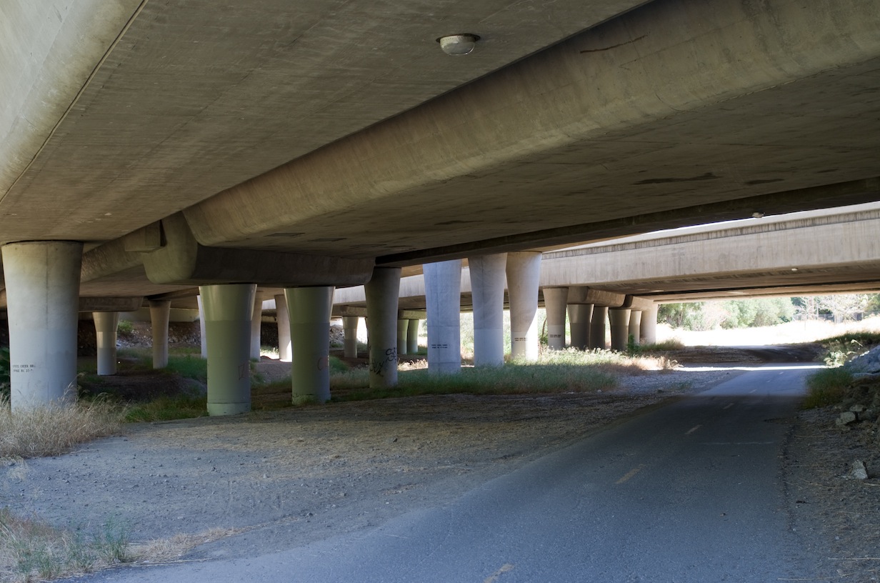
After the golf course is the first big undercrossing, at Capitol Expressway. It is also here that seems to have the largest concentration of homeless people staying near or under it. There have always been indications along the trail of people living in the trees along the creek, but in the last few years as the homeless population has grown, these areas have practically become established properties. This is something to bear in mind if you head off the paved trail — you might wander in to someone’s camp. As one might expect, the amount of people living on the trail tapers off as you head south away from the heart of the city, but is a common sight in the northern part of the trail.
South of this is the first creek crossing for the trail, on a broad road that dead ends into the trail, so cars (aside from the occasional county vehicle) are unlikely to be present. The trail here verges on an open grassy field, barren in the summertime. The creek as always is shrouded in trees. At about a mile from the Capitol undercrossing, there is a smaller one as the trail heads sharply downhill and then heads into a pleasant green park.
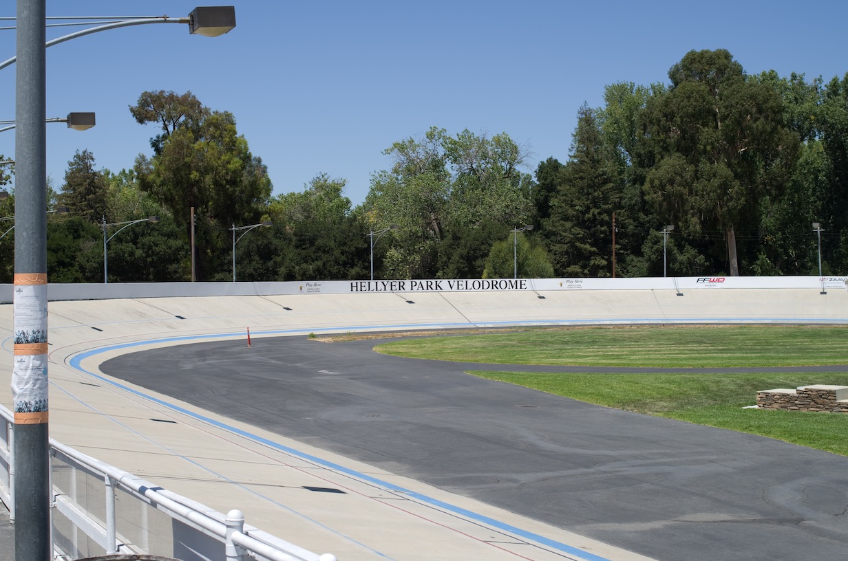
This is Hellyer County Park. At this end there are several covered picnic areas and both water and restroom facilities. A short ways past this is the Hellyer Park Velodrome which is usually locked but when I stopped by there were a couple cyclists preparing for the races to be held that evening. Once you’ve reached Hellyer Park there are markers for distance every half-mile; these continue all the way to the end of the Coyote Creek Trail in Morgan Hill. After the velodrome the trail continues over a bridge and then past more green lawn and a decent-sized lake (not directly connected to the creek).
The trail then proceeds east under Highway 101, and the surrounding park narrows. Here the trail is lined with trees until reaching Shady Oaks Park. This park is off the trail over a bridge, but I took a short break here to finish my lunch. The trees in the park are actually fairly sparse; more shade can be found by sticking to the trail. This whole section is bordered on the east by several office parks, and I saw quite a few people in office attire who apparently had stepped out for a short walk.
Eventually the trail is stuck between the offices on one side and the freeway (101) on the other. Curiously, there is a water fountain seemingly randomly placed out here with no other facilities nearby. The trail swings out and away from the freeway, but not all the way to the creekbed as it runs right next to a road that ends at Silicon Valley Boulevard. Instead it passes by some basins here that might see use in very wet years or after heavy rains, but looked to me as though they’ve been dry for some time.
The trail proceeds under the road and along what looks like the creek but is actually an alternate channel (nearly dry when I was there). The portion beyond this, despite (or perhaps because of) an unfinished fence line, feels like the wildest of the northern part of the trail. Both sides of the creek have good stretches of land covered in trees and bushes. After not quite a mile, there is another crossing under 101. It is actually quite wide as this is also the point where 85 splits off, and just past that is a pond might be though of as Lower Metcalf Lake.
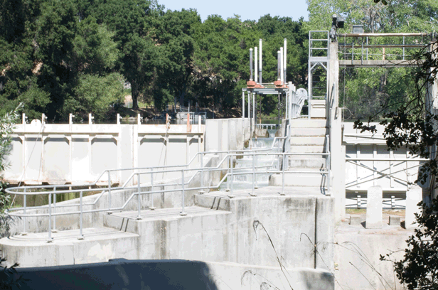
The paved trail runs close to a road across from a residential area. There is another broad trail that stays closer to the creek. After a short distance the full Metcalf Lake is visible, with the dam and fish ladder at this end.
The park looks a bit more developed from here, but there isn’t much beyond the lake area. Closer to the road are a couple playgrounds and basketball courts. This is the main part of Metcalf Park, which can be the end of this segment. The trail heads along the lake, and I continued a bit so that I could start the South section at the far end.